The mountain ranges of southern Costa Rica stretch out around the Talamanca Range, the country’s highest mountain range. Two sites there are of particular interest to travelers.
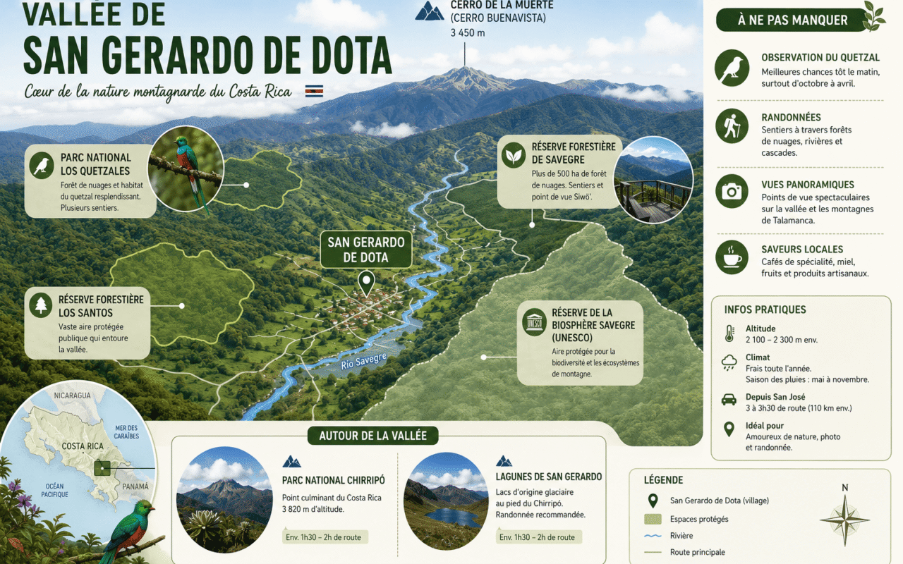
San Gerardo de Dota is a cloud forest valley perched at 2,200 m on the southern slope of Cerro de la Muerte. Here, you can spot the resplendent quetzal, hike along the Savegre River, and go trout fishing. It’s about a 3-hour drive from San José.
Cerro Chirripó rises to 3,820 m. It is Costa Rica’s highest peak and a challenging hiking destination; the ascent begins in the nearby village of San Gerardo de Rivas. The region is also home to La Amistad International Park and the Boruca communities.
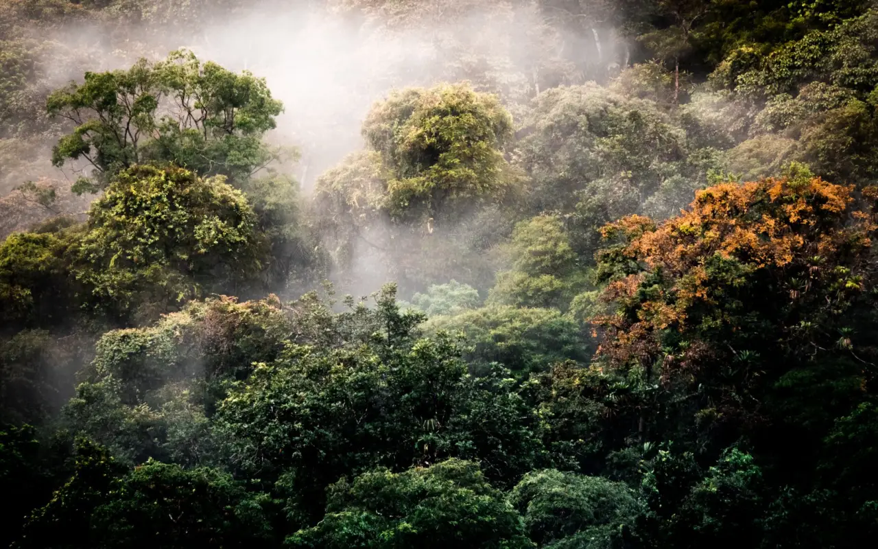
Far from the Pacific beaches and the volcanoes of the north, southern Costa Rica offers a different experience. Here, the elevation rises, and the tropical rainforest gives way to the cloud forest, then to the high-altitude páramo. The Talamanca Mountain Range features several peaks over 3,000 m. It is home to Central America’s last remaining big cats—the jaguar and the puma—and the most beautiful of tropical birds, the quetzal. This mountainous region is part of southern Costa Rica, which is more rural and less visited than the rest of the country.
The region is also home to the magnificent“La Amistad International Park,” the country’s largest, where Central American big cats such as the jaguar and puma still thrive.
South of Cerro de la Muerte (literally: “Mountain of Death”—so named in memory of the farmers who froze to death while transporting their harvests to San José) liesSan Gerardo, a small rural village in the Dota Valley, renowned for birdwatching—particularly for spotting the resplendent quetzal.
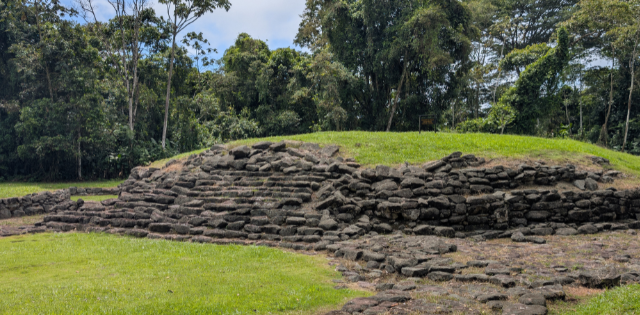
In addition, theBoruca, Cabécar, and Guyamínindigenous tribes live in the region’s remote villages. You might even have the chance to meet some of them and chat with them!
Finally, situated at an altitude of 2,000 to 3,000 meters, Los Quetzales Park is crisscrossed by streams and lakes and offers numerous hiking opportunities.
The Southern Mountain Ranges at a Glance: Elevations and Landmarks
The Talamanca Range is the longest and highest mountain range in Costa Rica. It stretches from the center of the country to the Panamanian border. The table below lists the region’s major elevation landmarks, from the capital to the country’s highest point.
| Location | Elevation | Main Attraction |
|---|---|---|
| San José (capital) | 1,170 m | Starting point to the south |
| San Gerardo de Dota | 2,200 m | Quetzal watching, Savegre River |
| Los Quetzales National Park | 2,000 to 3,000 m | Cloud forest, hiking |
| Cerro de la Muerte | 3,451 m | Mountain pass, high-altitude páramo |
| Cerro Chirripó (summit) | 3,820 m | Highest point in Costa Rica |
When is the best time tovisit the southern mountain ranges?
The dry season, from December to April, remains the safest time for climbing Chirripó and for high-altitude hikes. The trails are easier to navigate, and the views are clearer. To spot quetzals in the valley, aim for the breeding season, from March through June. The cloud forest maintains a cool climate year-round, with mornings that are often foggy. No matter the season, be sure to pack warm clothing: above 3,000 meters, the temperature drops quickly.
San Gerardo de Dota: The Valley of the Quetzal
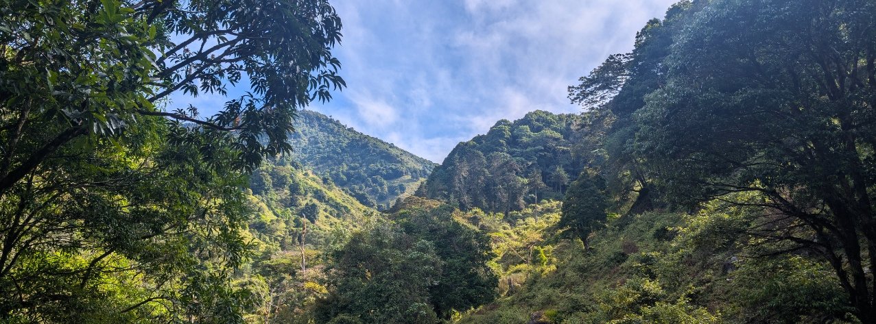
San Gerardo de Dota is a small agricultural valley in the cloud forest, located at an elevation of 2,200 meters in the heart of the Talamanca Range. It runs along the Savegre River on the southern slope of Cerro de la Muerte. This hamlet of a few hundred residents owes its reputation to a bird—the resplendent quetzal—and to a cool climate that stands in stark contrast to the heat of the rest of the country. Temperatures there typically range between 10 and 22 °C.
Where is San Gerardo de Dota, and how do you get there?
The valley is about a 3-hour drive from San José via the Pan-American Highway (turn-off around km 80). You then turn onto the southern slope of Cerro de la Muerte and descend a narrow road to the bottom of the Savegre Valley. The difference in elevation compared to the capital explains the change in atmosphere: you leave the Central Valley at 1,170 m and climb to over 2,000 m, through a landscape of century-old oaks and ferns.
Spotting the Resplendent Quetzal
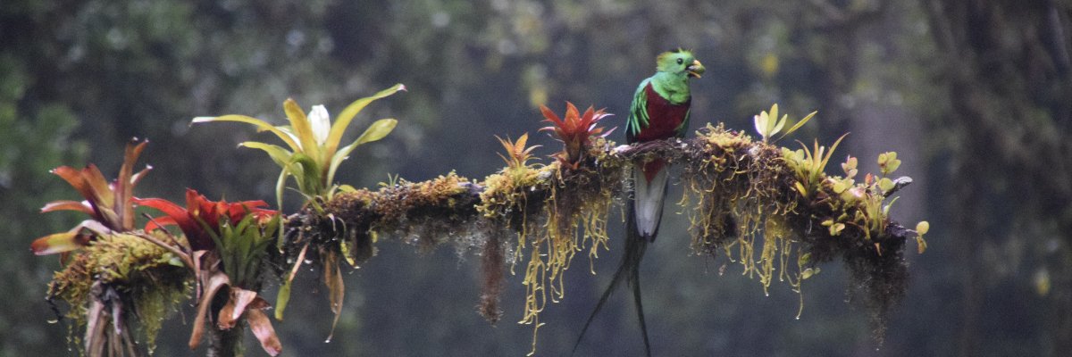
The valley is home to one of the highest concentrations of resplendent quetzals in Costa Rica. Found only in Central America, this bird nests in the cloud forest at altitudes between 1,500 and 3,000 meters. It feeds on the fruit of the aguacatillo, a wild mountain avocado tree. Its emerald-green plumage and long tail make it one of the most sought-after sightings in the region.
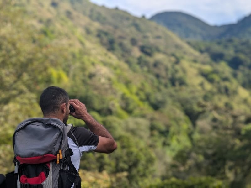
The bird is elusive, and its habitat is difficult to access. Patience is key. The breeding season, from March to June, offers the best chance of spotting it, when males display near nesting sites. The avian diversity extends beyond the quetzal alone: the valley is home to more than 170 bird species, including about 15 hummingbird species, within the Savegre Important Bird Area recognized by BirdLife International. The neighboring Los Quetzales National Park, situated between 2,000 and 3,000 meters in elevation, complements the birdwatching experience. To explore further, our birding tour in Costa Rica takes us into these high-altitude forests.
Hiking, the Savegre Waterfall, and Trout Fishing
The Savegre River, considered one of the purest in Central America, defines the valley. An accessible trail follows the river upstream to a waterfall and its natural pools. Swimming is possible there, but the water is cold and the currents can be strong at times. Rainbow trout, raised locally in the mountain streams, have become the culinary specialty of the valley’s lodges. They are often served grilled with garlic and lemon.
From the valley, a challenging 9-km hike leads to the summit of Cerro de la Muerte at 3,451 m. The trail crosses the páramo, a high-altitude ecosystem of dwarf shrubs and short grasses that is rare in Central America. On a clear day, the view extends as far as the Irazú and Turrialba volcanoes, and sometimes even to both oceans. Be sure to pack several layers of clothing: temperatures can drop below freezing at dawn.
High-Altitude Coffee from the Dota Valley
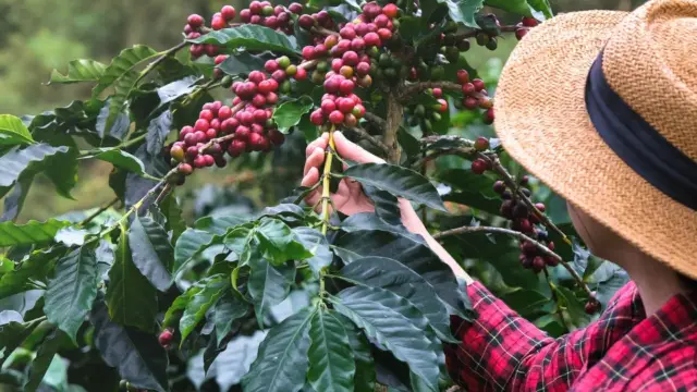
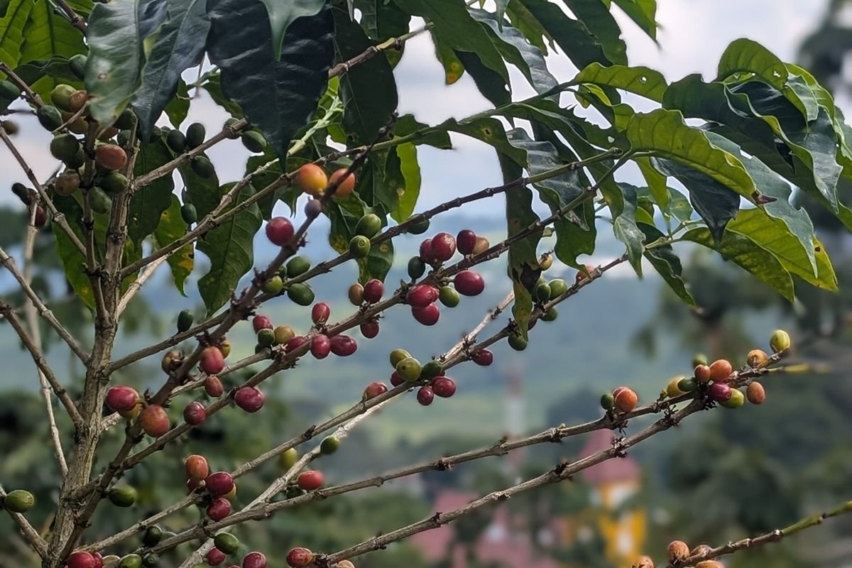
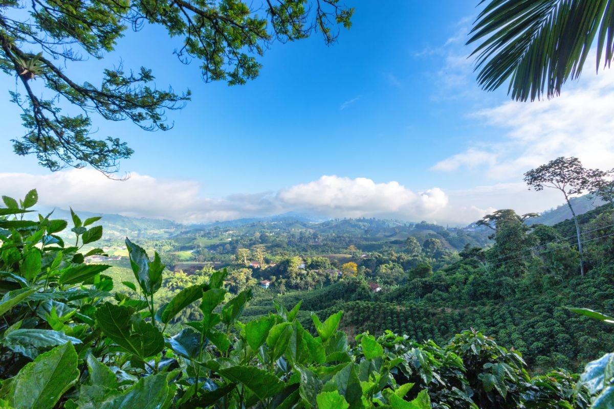
The Dota Valley and the neighboring Zona de los Santos are among Costa Rica’s most renowned coffee-growing regions. The high altitude—around 1,800 to 2,000 meters for the plantations—produces a dense, tangy bean prized by coffee enthusiasts. Several family-run farms offer tours of their plots and a complete behind-the-scenes look at the process, from cherry to cup. This is the logical next step after visiting the valley, which we detail in our article on Costa Rican coffee.
Do not confuse the two. San Gerardo de Dota, the Quetzal Valley described here, is not San Gerardo de Rivas. The latter village, located further south near San Isidro de El General, is the starting point for the ascent of Chirripó. These are two distinct places that are often confused.
Hikes and Climbs in the San Gerardo de Dota Area
Cerro Chirripó: Costa Rica’s Highest Peak
Cerro Chirripó rises to 3,820 m. It is the highest point in Costa Rica and one of the highest peaks in Central America, though not the highest. It stands in the heart of the Talamanca Range, within the national park of the same name. Its name means “land of eternal waters” in the indigenous language, referring to the many lakes and streams that surround it. Chirripó National Park covers more than 50,000 hectares.
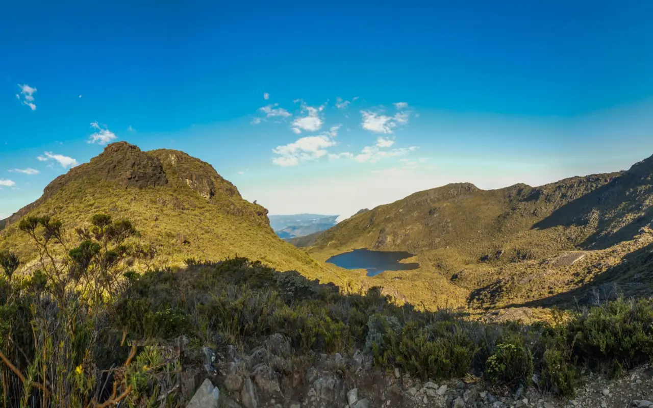
Established in 1975, the park was designated a UNESCO Biosphere Reserve in 1982 and then inscribed on the World Heritage List in 1983 as part of the La Amistad site. It protects a variety of ecosystems, ranging from lowland tropical rainforests to the highland páramos. Above 3,400 m, the landscape changes dramatically: rocky outcrops, glacial lakes, and sparse vegetation replace the dense forest. A high concentration of tapirs has been recorded there, along with jaguars, peccaries, and numerous monkeys.
Climbing Chirripó, Step by Step
Hiking is the only way to reach the summit. The main trail starts in San Gerardo de Rivas, at an elevation of about 1,530 m. It’s about a 14-km climb to the base lodge, Crestones Base Lodge, where hikers spend the night before reaching the summit before dawn. The round trip takes 2 to 3 days, with an overnight stay at high altitude essential for acclimatization. The elevation gain exceeds 2,000 m, and temperatures can drop below freezing at the summit.
No climbing skills are required. The challenge lies in endurance and altitude management. The reservation system is strict. Entry permits and lodge accommodations are allocated by SINAC. They must be booked online several months in advance—sometimes nearly a year for the high season. It is impossible to set out without a confirmed reservation. Our team organizes the ascent as part of our treks and hikes in Costa Rica, with permits and logistics included.

La Amistad International Park, a Biosphere Reserve
Designated a UNESCO World Heritage Site, La Amistad International Park protects an area straddling Costa Rica and Panama, hence its name (“friendship”). It is the country’s largest system of tropical mountain forests. Its territory encompasses humid, tropical rainforest, and cloud forests. Variations in elevation, soil types, and climate create a rare mosaic of habitats. Central America’s big cats—the jaguar and the puma—still roam here, requiring vast territories to survive.
Nearby, the Las Cruces Biological Station, managed by the Organización para Estudios Tropicales, ranks among the world’s leading centers for tropical research. It occupies a 235-hectare mid-altitude forest. Its Wilson Botanical Gardens, designed by Brazilian landscape architect Roberto Burle Marx, feature ferns, palms, orchids, and bromeliads. The reserve, often shrouded in clouds, is home to a wide variety of birds and mammals.

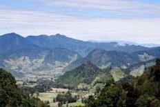
LAS CRUCES – Biological Station
One of the world’s leading centers for tropical research and education is managed by the Organization for Tropical Studies (OTS). It is located in the heart of a 235-hectare mid-elevation forest, where 10 km² provide access to an incredible diversity of birds and mammals. The reserve is shrouded in clouds that nourish the multitude of ferns, palms, orchids, bromeliads, and ornamental plants in the Wilson Botanical Gardens, designed by Brazilian landscape architect Roberto Burle-Marx. The colors are vibrant.
Cultural Traditions
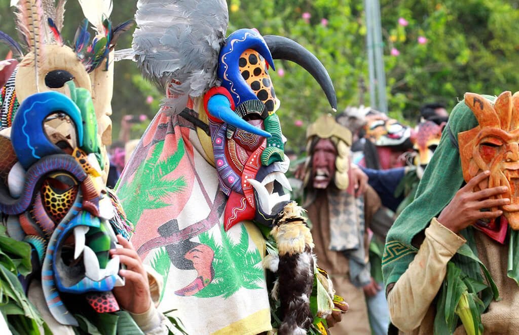
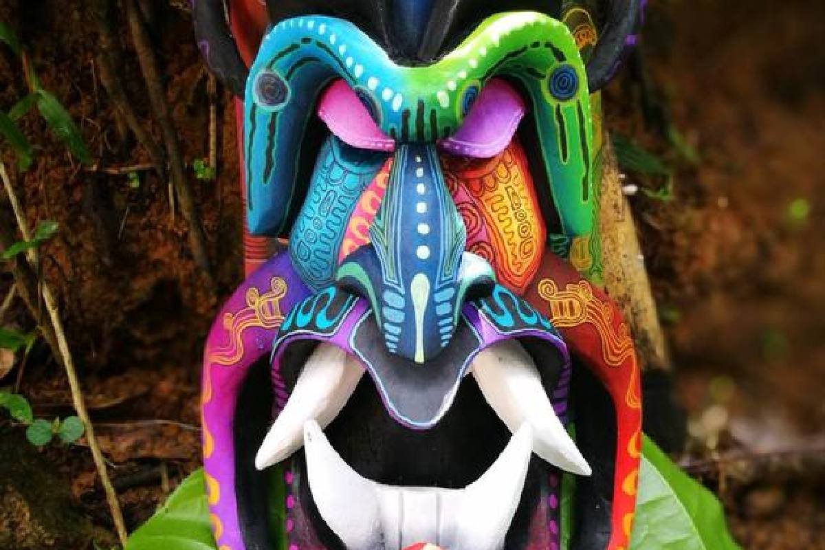
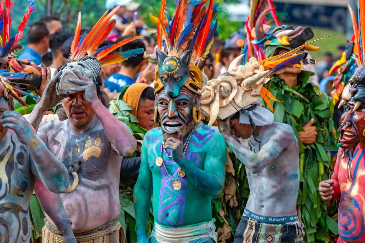
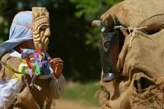
The Boruca and the Fiesta de los Diablitos
The Boruca live on their ancestral lands in the hills of the Térraba Valley. They share the region with other peoples, notably the Cabécar. The Boruca are known for their balsa wood masks, carved into fantastical animals and painted in bright colors. These masks take center stage during the Fiesta de los Diablitos, the “play of the little devils.”
The festival takes place in Boruca from December 31 to January 2, then in Rey Curré in early February. For three days and three nights, masked men reenact the indigenous peoples’ resistance against the Spanish conquistadors, symbolized by a bull effigy. The celebration concludes with the cremation of the defeated bull. An encounter with these communities is organized with respect and local guidance. We discuss this in our guide to Costa Rica’s indigenous communities, and it can be incorporated into a homestay experience.
Frequently Asked Questions About the Quetzal Valley and Chirripó
At what elevation is San Gerardo de Dota located?
San Gerardo de Dota is located at an altitude of approximately 2,200 meters in the Talamanca Mountain Range, on the southern slope of Cerro de la Muerte.
What is the highest point in Costa Rica?
The highest point in Costa Rica is Cerro Chirripó, at an elevation of 3,820 meters, in the Talamanca Mountain Range. It is one of the highest peaks in Central America, but not the highest.
How long is the drive from San José to the Savegre Valley?
Allow about 3 hours by car from San José via the Pan-American Highway, taking a turnoff at km 80 and then descending into the Savegre Valley.
Where can you see the quetzal in Costa Rica?
The Savegre Valley is one of the best places in the country to spot the resplendent quetzal. The breeding season, from March to June, offers the best chances.
Do you need a reservation to climb Chirripó?
Yes. Entry permits and spots at the Crestones refuge are allocated by SINAC and must be reserved online several months in advance—sometimes nearly a year in advance during peak season.
How many days does it take to climb Chirripó?
The climb takes 2 to 3 days, with one night at the base shelter to acclimatize. The hike starts from San Gerardo de Rivas, at about 1,530 m.
What is the difference between San Gerardo de Dota and San Gerardo de Rivas?
San Gerardo de Dota is the Quetzal Valley, on the Savegre River. San Gerardo de Rivas, further south near San Isidro de El General, is the starting point for the Chirripó climb.
Is it cold in the southern mountain ranges?
Yes, the altitude makes the climate noticeably cooler. Temperatures in the valley range from 10 to 22 °C, and at the summit of Chirripó, temperatures can drop below zero, especially at night.
Want to explore the southern mountain ranges?
Our team based in Costa Rica designs custom itineraries around the Savegre Valley, Chirripó, and the southern part of the country: quetzal watching, high-altitude hikes, and encounters with local communities. TheOsa Peninsulaand Corcovado National Park are the perfect next steps on your journey into the wild south. Contact us to plan your own adventure.