The southern cordilleras: San Gerardo de Dota and Chirripó
High country of cloud forest and páramo
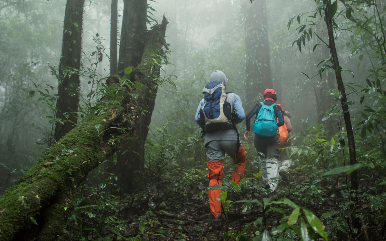
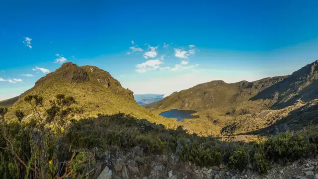
The high country of the south is a cooler, mist-wrapped Costa Rica that surprises many first-time visitors. Around San Gerardo de Dota, the Savegre valley shelters cloud forest, clear rivers and apple orchards, and ranks among the best places in the country to see the resplendent quetzal. Higher still rises the Talamanca massif, crowned by Cerro Chirripó at 3,820 metres, the highest point in Costa Rica. The landscape shifts from oak cloud forest to open páramo near the summit, a habitat found almost nowhere else in the region. Nights are genuinely cold, and clear mornings can offer views toward both the Pacific and the Caribbean. This is a region for hikers, birders and anyone drawn to a slower mountain pace.
Not to be missed in the Southern cordilleras region
- quetzal watching in San Gerardo de Dota
- the Savegre valley and river
- the ascent of Cerro Chirripó
- Los Quetzales National Park
- the páramo landscapes of the high Talamanca
Find out more about the southern cordilleras region
Unique experiences
Want to go on an adventure in
Costa Rica?
Tours in the southern cordilleras region of Costa Rica

An Exceptional Cruise in the South Pacific off the Coast of Costa Rica

A Solidarity Trip to Costa Rica: Exploring Nature and Connecting with Locals
Travel to Costa Rica During the Green Season Our Top Itinerary